Contents
This is a very common case, in Morocco as elsewhere. 1930s buildings in Casablanca, riads in the medinas of Fez or Marrakech, factories extended several times, hotels renovated in stages: very often, nobody knows exactly what is behind the walls.
Before a refurbishment, an extension or a change of use, working from approximate plans is a risky bet. Here is how scan-to-BIM removes that risk, step by step.
What is scan-to-BIM?
Scan-to-BIM happens in two stages.
1. 3D laser scanning
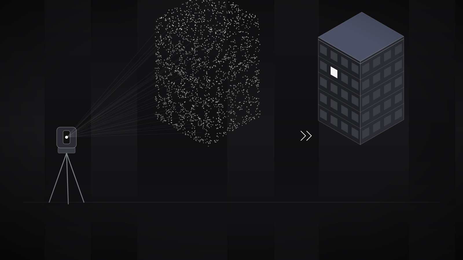
A scanner on a tripod rotates on itself and sends millions of laser points around it. Each point is measured with great precision. By moving the scanner from room to room, you get a “point cloud”: a 3D copy of the building, made of hundreds of millions of points.
2. BIM modeling
The point cloud is very precise, but it is not “intelligent”: it is just a collection of points. Modelers then rebuild a real BIM model on top of it: walls, slabs, columns, doors, utilities, each with its own information. To understand what this model brings, read our guide on BIM in Morocco.
The result is called an “As-Built” model, that is, as constructed. It describes the building as it really is, with its not-quite-straight walls and not-quite-flat floors.
When do you need scan-to-BIM?
- Refurbishment or heavy renovation. The architect designs on an exact base, not on a tape-measure survey.
- Extension or raising. The structural engineering firm knows the actual position of columns, beams and load-bearing elements.
- Change of use. Turning a villa into a clinic, an office building into a hotel or a warehouse into a showroom requires a perfect knowledge of the existing building.
- Heritage and historic monuments. The scan keeps an exact record of a building, its decoration and its deformations, before any intervention.
- Industrial sites. Add a production line, a machine or a network in an existing plant, with no nasty surprises at installation.
- Real estate asset management. An owner or property company gets a precise inventory of its buildings, the basis of a future digital twin.
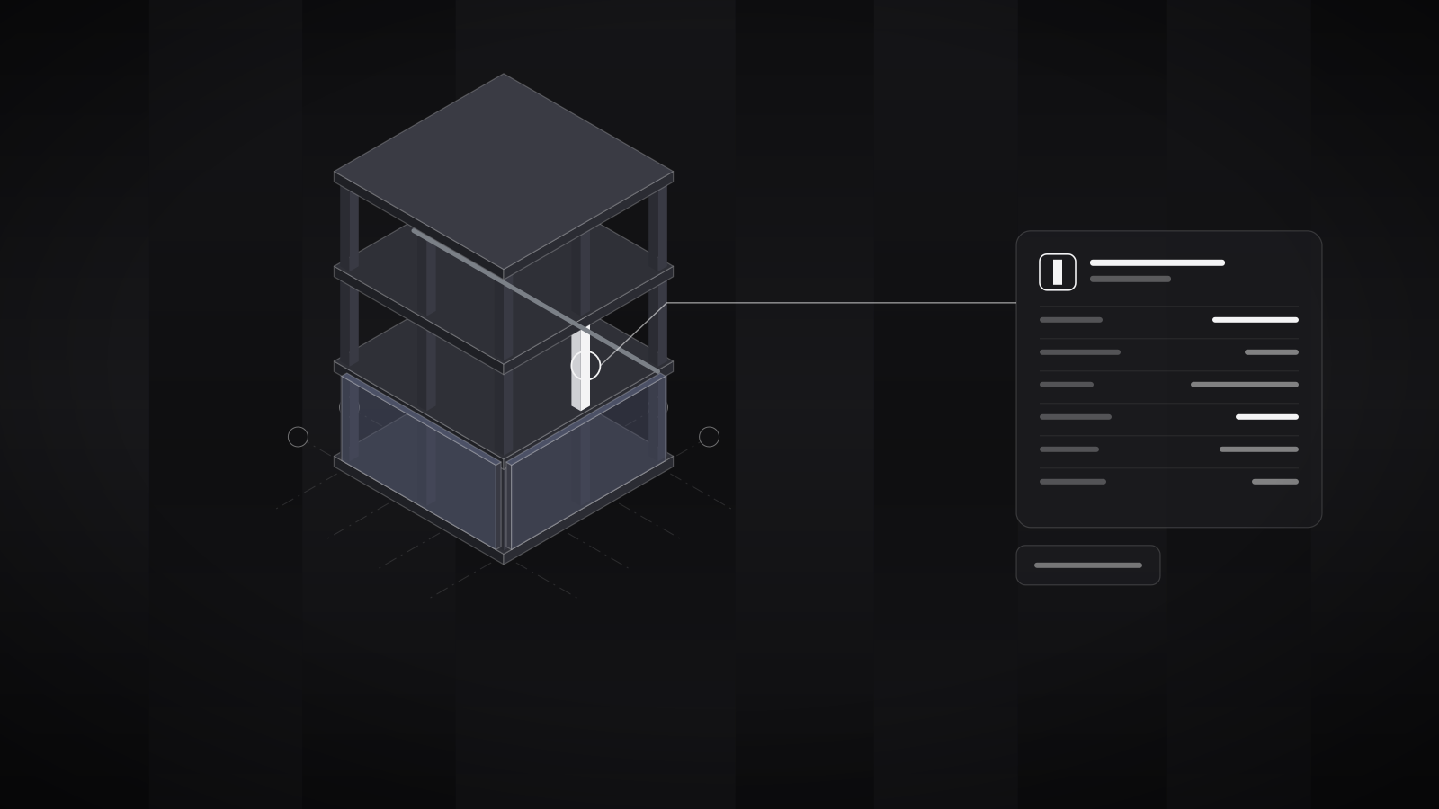
- Site control. Compare what has been built with what was drawn, before pouring the next slab.
The process in 5 steps
- Scoping the need. Together we define what must be scanned (the whole building, a few floors, facades, roofs), the expected level of detail and the model's final use. This is the most important step: it determines the price and the timeline.
- On-site scan. A team travels with the scanner. Scan stations are spread out to cover everything. For an occupied building, the visit is organized to disturb occupants as little as possible.
- Point cloud processing. Scans are stitched together, cleaned (passers-by, vehicles, reflections) and georeferenced if needed. We check that the accuracy achieved matches what was expected.
- BIM modeling. Modelers rebuild the model element by element, at the agreed level of detail.
- Checking and delivery. The model is overlaid on the point cloud to check deviations. Then we deliver the model, the 2D plans extracted from it and, if needed, the point cloud itself.
Level of detail and accuracy: don't pay for nothing
A common mistake is to ask for “the maximum” without knowing what the model will be used for. Yet the level of detail significantly changes the modeling time, and therefore the price.
| Level of detail | What is modeled | Typical use |
|---|---|---|
| Simple | Walls, slabs, roofs, main openings | Feasibility study, sketch, area calculations |
| Intermediate | + stairs, columns, beams, detailed joinery | Design of a refurbishment, permit application file |
| Detailed | + technical systems, equipment, finishes | Works, technical coordination, asset management |
Accuracy, on the other hand, depends on the scanner and the method. Today's terrestrial laser scanners generally measure to within a few millimeters, which is more than enough for architecture and engineering. The required accuracy should be written into the quote, along with how it will be checked.
Timelines, costs and deliverables
Timelines
On-site scanning takes from a few hours for an apartment to several days for a large building or an industrial site. Modeling then takes from a few days to several weeks, depending on the area and the level of detail.
Costs
The price depends on four criteria: the area to scan, the complexity of the building (a riad with carved decoration is not a warehouse), the level of detail required and site access (occupied building, restricted hours, remote site). That is why a serious quote is always made after a visit, or at least based on photos and a precise description.
Keep in mind the comparison that matters: the cost of scan-to-BIM should be set against the cost of the errors it avoids. A misplaced column on a manual survey can call into question an entire layout plan, or force you to redo work already done.
Usual deliverables
- the BIM model in the requested native format (Revit, Archicad…) and in IFC;
- 2D plans, sections and elevations in DWG and PDF, useful for example for your APS and APD files;
- the point cloud, useful for going back to check a detail later;
- optionally, a virtual tour of the point cloud or 360° panoramas, easy to share with the whole team.
Frequently asked questions
Does the building need to be emptied to scan it?
No. The scan can be done in an occupied building. Furniture simply hides some parts of the walls; we adapt the scanner positions to limit hidden areas.
Can the exterior and roofs be scanned?
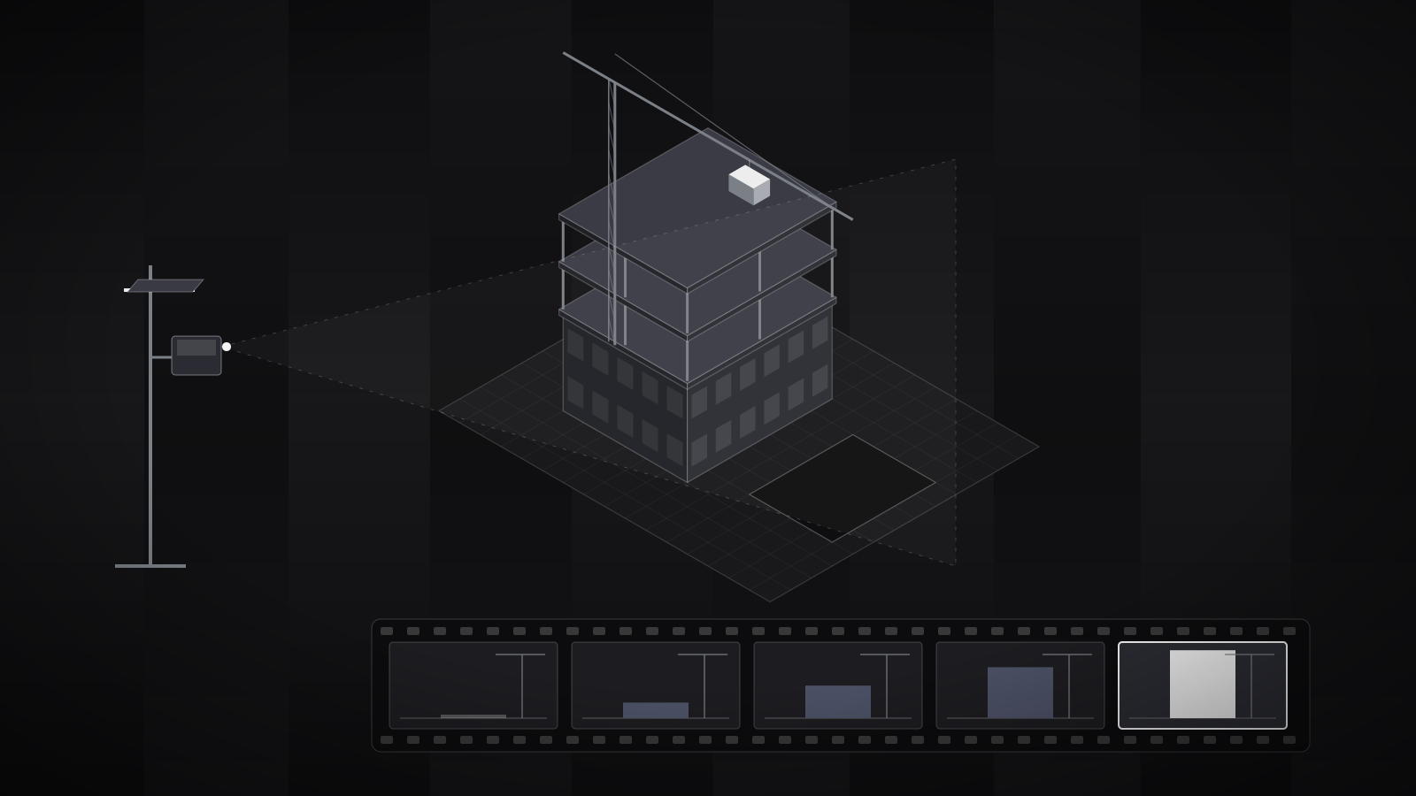
Yes. Facades are scanned from the ground, and roofs or inaccessible areas can be completed by drone (photogrammetry), in compliance with local drone regulations.
Does scan-to-BIM replace the land surveyor?
It complements it. For land and legal matters (property boundaries, boundary marking), an authorized surveyor is still required in most countries.
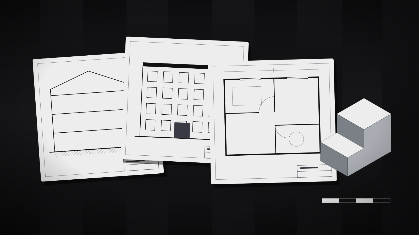
What if I already have plans?
It's a good starting point, but the scan lets you check that they match reality. The gaps are often larger than expected, especially in buildings modified over the years.
I already have a point cloud: can you model it?
Yes. If a surveyor or another provider has already done the scan, in any country, the modeling stage can be carried out entirely remotely.
In summary
Scan-to-BIM turns a poorly documented building into a precise digital model that architects, engineers and contractors can work on with confidence. Well scoped, it costs less than the errors it avoids.
Grapheva carries out high-resolution 3D laser scans in Morocco and converts point clouds from projects abroad into As-Built BIM models: refurbishment, extension, heritage and industry.